
Geographic Information System (GIS): A Smart Map for the Real World
Introduction
Every real-world phenomenon has a “where.” Where is a store located in the city? Which neighborhood was most affected by a flood? What is the best route for an ambulance? Answering such questions requires a tool that can analyze data in a spatial context. That is exactly what a Geographic Information System (GIS) does.
GIS is no longer just mapping software; it is a powerful framework for collecting, storing, analyzing, and visualizing spatial data—now at the heart of urban, environmental, business, and even security decisions. In this article, we introduce the concept of GIS, its core components, and the most important topics in the field.
What Is GIS?
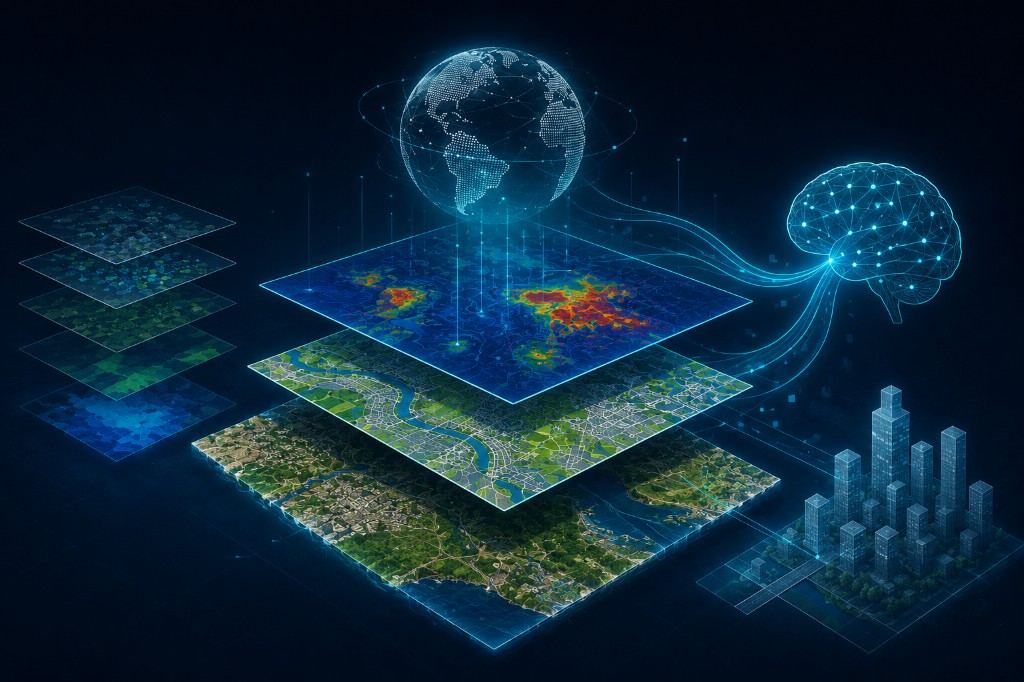
A Geographic Information System gathers, manages, analyzes, and visualizes data that has a spatial component (Spatial Data) together with its descriptive information (Attribute Data). The key difference between GIS and a simple map is that every map feature carries a background of data; for example, a land parcel in GIS is not just a polygon—it also has attributes such as ownership, land use, area, and value.
The main components of a GIS usually include:
- Hardware – computers, servers, and field devices such as GPS.
- Software – tools for data entry, editing, and analysis.
- Data – the core of GIS, which may be vector or raster.
- Users – specialists who analyze and interpret the data.
- Methods and processes – standards and models that define how the system is used.
Types of Data in GIS
Vector Data
Geographic features are represented as points, lines, and polygons—for example, a hospital location (point), a road (line), or a county boundary (polygon).
Raster Data
Information is stored as a grid of cells (pixels), each with a value. Satellite imagery and Digital Elevation Models (DEM) are common examples.
Key Concepts in GIS
1. Spatial Analysis
The heart of GIS is answering spatial questions: Where is the nearest hospital? Which areas fall within one kilometer of a river? Operations such as Buffering, Overlay, and Network Analysis are core tools in this domain.
2. Coordinate Systems and Map Projections
Because the Earth is spherical and maps are flat, Map Projections and Coordinate Reference Systems (CRS) are needed to correctly transfer positions from the globe to a 2D plane. Understanding systems such as WGS84 and UTM is essential for every GIS analyst.
3. Spatial Database Modeling
Managing large volumes of spatial data requires Spatial Databases such as PostGIS, which enable efficient storage, querying, and analysis of geographic data.
4. Geocoding
Converting text addresses (street name and house number) into geographic coordinates—and the reverse process, reverse geocoding—is a frequent need in routing and delivery systems.
5. Web Maps and Online GIS
With technologies such as Web GIS, Leaflet, Mapbox, and ArcGIS Online, interactive maps can be delivered directly in web browsers or mobile apps—the foundation of many modern routing and delivery applications.
6. Remote Sensing Combined with GIS
GIS and remote sensing complement each other; satellite images are often imported into GIS as a primary data source and analyzed alongside other information layers.
7. Digital Elevation Models and Terrain Analysis
A Digital Elevation Model (DEM) enables analysis of slope, aspect, watersheds, and flow paths, with wide use in water resource management, road planning, and flood-risk assessment.
8. Practical GIS Applications
- Urban planning: land-use analysis, siting public services, and infrastructure management.
- Disaster management: mapping high-risk areas and emergency evacuation planning.
- Transport and logistics: route optimization and fleet management.
- Agriculture and natural resources: farmland management and forest monitoring.
- Marketing and business analysis: optimal branch location and geographically based market analysis.
9. Main Software and Tools
Key tools include QGIS (open-source and free), ArcGIS (Esri’s commercial product), and Python libraries such as GeoPandas and Shapely for code-driven spatial analysis.
Conclusion
GIS turns location into an analyzable dimension of decision-making. From urban planning to disaster management and business analysis, few fields can do without spatial analysis. With the growth of open-source tools and cloud platforms, access to GIS is easier than ever—and a dynamic future awaits its expanding applications.