
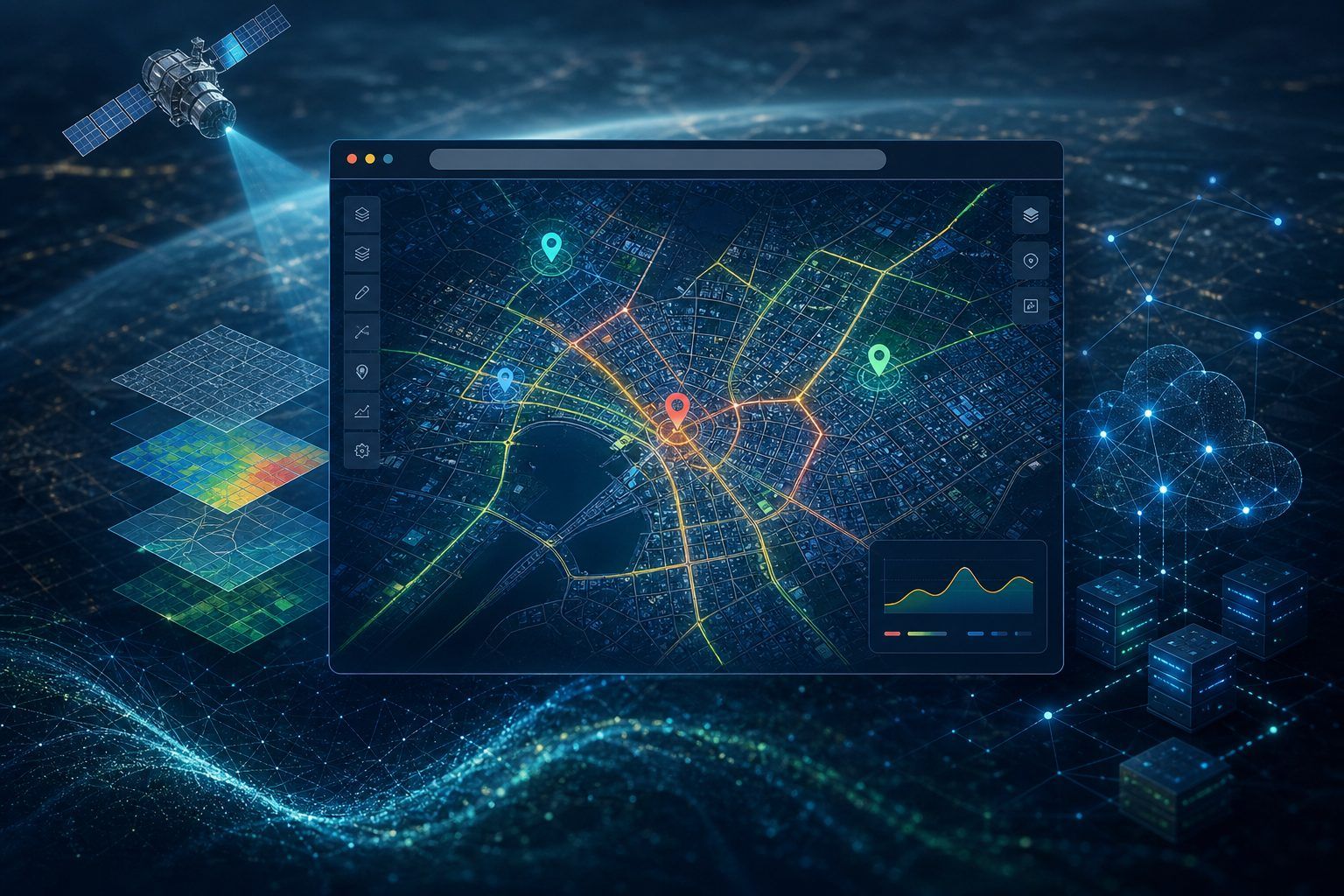
Web-based Intelligent Spatial Systems: Maps That Think in the Browser
Introduction
Not long ago, viewing even a simple map required installing specialized GIS software and manually loading heavy geospatial files. Today, opening a web browser is enough to explore an interactive map that suggests optimal routes, finds nearby places, or analyzes city traffic in real time. This shift comes from the rise of Web-based Intelligent Spatial Systems.
This field combines GIS, web technologies, spatial databases, and increasingly artificial intelligence to deliver smart location services directly in browsers and mobile apps. This article introduces the domain and its key topics.
What Is a Web-based Intelligent Spatial System?
A web-based intelligent spatial system is a platform that delivers geographic data through a browser or web app and goes beyond simple map display by adding analytical and decision-support capabilities. Unlike static maps, these systems are typically interactive, real-time, and able to learn from user behavior or new data streams.
Their architecture usually includes three main layers:
- Backend – spatial database, processing logic, and often AI models.
- API / Web Services – the interface that exchanges data and analysis results between server and client.
- Frontend – the interactive map and user interface rendered in the browser or on mobile.
Key Topics in This Field
1. Web Mapping Libraries and Frameworks
Tools such as Leaflet, OpenLayers, and Mapbox GL JS form the foundation of interactive web maps, enabling zoom, layering, and user events.
2. OGC Web Services Standards
Standards such as WMS, WFS, and WMTS, defined by the OGC, enable standardized exchange of spatial data across different systems.
3. Spatial Databases and Scalability
Engines like PostGIS (the spatial extension for PostgreSQL) support storage, querying, and analysis of large geospatial datasets—essential for systems with thousands of concurrent users.
4. Vector Tiles
Vector Tiles send raw geometric data to the browser for client-side rendering instead of pre-rendered map images, improving load speed and visual quality.
5. Real-time Spatial Analytics
Modern systems can ingest and analyze live data streams—such as vehicle GPS or IoT sensors—in real time, forming the backbone of routing and fleet-management applications.
6. Smart Routing and Networks
Routing algorithms such as Dijkstra and A*, combined with live traffic data, power systems that suggest the shortest or fastest path.
7. AI Combined with Spatial Systems
Capabilities like traffic prediction, user-behavior pattern detection, and optimal location recommendation turn traditional spatial systems into truly intelligent platforms.
8. Mobile Spatial Apps and PWAs
With Progressive Web Apps (PWAs), many spatial systems now offer offline use, device GPS access, and location notifications—features once limited to native apps.
9. Security and Privacy of Spatial Data
Because user location is sensitive, security and privacy practices (such as anonymizing tracking data) are a core part of system design.
10. Practical Applications
- Routing and delivery apps: optimizing routes and delivery times with live traffic.
- Smart city management: monitoring infrastructure, waste, and street lighting.
- Tourism and location-based services: recommending places based on location and interests.
- Disaster management: coordinating rescue teams with live spatial data.
- Location-based business: analyzing customer behavior and optimizing branch locations.
Conclusion
Web-based intelligent spatial systems narrow the gap between the physical and digital worlds—where anyone with a browser can access sophisticated spatial analysis. As web technologies, spatial databases, and AI advance, this field will play an even larger role in everyday life and business decisions.