
AI in Geomatics: When Algorithms Read the Earth
Introduction
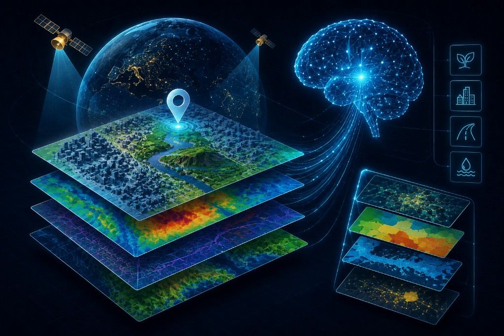
Every day, millions of satellite images, billions of LiDAR point-cloud points, and vast amounts of spatial data are produced worldwide—volumes that can no longer be managed with traditional methods and manual analysis. That is exactly where Artificial Intelligence (AI) meets Geomatics: a field that combines remote sensing, GIS, photogrammetry, and surveying.
Combining AI with geomatics has opened new frontiers—from automatic building detection in satellite imagery to predicting floods and urban growth. In this article, we introduce this emerging field and its most important topics.
Why AI and Geomatics Are Tightly Linked
Geomatics naturally deals with large volumes of data: satellite images, aerial photos, point clouds, IoT sensor data, and diverse map layers. At the same time, AI—especially Deep Learning—has shown remarkable ability over the past decade to find patterns in massive, complex datasets. Together they deliver speed and accuracy that were previously unimaginable in spatial analysis; work that once took months can now be done in hours.
Key Concepts in This Field
1. Deep Learning for Satellite Image Classification
Convolutional Neural Networks (CNNs) are widely used today for automatic land-use classification (urban, agriculture, forest, water) from satellite imagery, offering accuracy far beyond traditional statistical methods.
2. Object Detection in Aerial Imagery
Models such as YOLO and Mask R-CNN identify specific elements in aerial and satellite images automatically—from counting cars and buildings to detecting trees and even ships in ports.
3. Semantic Segmentation
Unlike simple classification that assigns one label to an entire image, semantic segmentation labels every pixel. This is highly useful for precise land-use mapping, building-boundary detection, and pixel-level vegetation monitoring.
4. Change Detection
One of the most important AI applications in remote sensing is automatically comparing images of the same area across two or more time periods to identify change—vital for deforestation monitoring, urban expansion, and post-disaster damage assessment.
5. Point Cloud Processing with Machine Learning
LiDAR and photogrammetry data often come as 3D point clouds. Deep learning models such as PointNet can automatically classify these points (ground, buildings, vegetation, infrastructure) with little or no manual intervention.
6. Spatial Prediction Models
Machine learning combined with spatial data enables predictive models—from forecasting flood and landslide hotspots to projecting urban growth patterns in coming years.
7. Automatic Feature Extraction
A practical, time-saving application is automatic extraction of features such as roads, buildings, and field boundaries from aerial imagery—work that previously required manual digitizing by GIS specialists.
8. Cloud Processing Platforms and Tools
Platforms such as Google Earth Engine, together with deep learning libraries like TensorFlow and PyTorch, make it possible to train and run AI models on massive satellite datasets without heavy local hardware.
9. Challenges and Considerations
Despite major progress, the field still faces challenges: the need for high-quality labeled training data, geographic and climatic differences that limit model generalization, and the need for greater interpretability in sensitive uses such as disaster-management decisions.
10. Practical Applications
- Smart agriculture: automatic pest/disease detection and yield prediction.
- Urban management: monitoring unauthorized construction and infrastructure planning.
- Environment: monitoring deforestation, biodiversity, and climate change.
- Disaster management: rapid automated damage assessment after earthquakes, floods, and wildfires.
- Smart transport: traffic analysis and routing based on live spatial data.
Conclusion
Combining AI with geomatics has created a new generation of spatial analysis tools that are faster, more accurate, and more scalable than traditional methods. With growth in satellite data, drone sensors, and deep learning models, this field will play an ever larger role in location-based decision-making in the years ahead.